Archive

Ideas

For those of you visiting from the BBC iPM blog, here is a very large version of my suggested design for the London tube map. This is a version that illustrates the system as it could be in 2012. That means a more extensive London Overground network, some DLR changes and the completion of the station changes around Shepherds Bush.

London’s underground and overground network
Click to enlarge (a lot)

For more on the design, see my page on the design of London’s tube map.

…to end my short diversion into the world of public transport, one more idea.

People who use public transport rarely usually choose a train before a bus. Train maps and services are simpler to understand. They get into much deeper trouble when a line is disrupted. What are the alternative routes?

How about setting up a bus route to follow each tube line and inner suburban train line. They would have stops at major stations, and if the gap between stations is large, they’d have a stop mid-way. These routes have already been defined by the train companies: they have planned them for the case where they need to provide a replacement bus service when the line needs to be closed.

This means you can have a 24 hour service on all train lines – using buses. It is a lot easier to translate your understanding from a tube map to a set of buses that follow the same routes.

…now back to the movies…

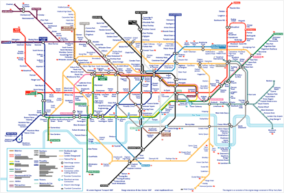
As the London tube system will only get more complicated, maybe it is time to consider using an idea from the Paris Metro: make more of names of the terminii of each line. I think that one of the biggest problems for new users of the system is the use of compass-point directions (‘Eastbound and Westbound’) at tube stations.

Sometimes I need to change at Westminster. When I do, I see that the Jubilee platforms are labelled as being for trains going ‘Westbound’ and ‘Eastbound’. Surely from the point of view of most Londoners, certainly for those who navigate by the tube map, the Jubilee line goes north-south at that point, and the sub-surface lines east-west. The District and Circle aren’t marked as going Northbound and Southbound at Westminster (which are the directions it travels at that station).

Both the Jubilee and Bakerloo lines leave Baker Street to the east. Their platforms aren’t described as Eastbound.

Signage could look like this:

With a revised (2012) tube map looking like this:

The 2012 tube map with the teminii emphasised
Click to enlarge.

To all those who are following a link to my redesigned tube map, please click one more time to see the original post and more on the London Tube Map. The comments below apply to the map shown on that page.

Apologies for the diversion!